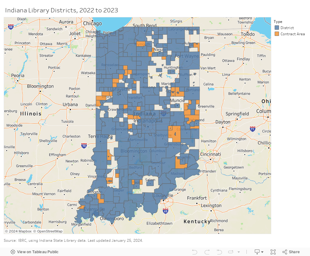
2022-2023 Library District Interactive Map
Zoom in and select a district or contract area below. This map is based on library district boundaries produced in conjunction with the Indiana State Library. To access data for these public libraries (in spreadsheet format), visit the Indiana State Library website.